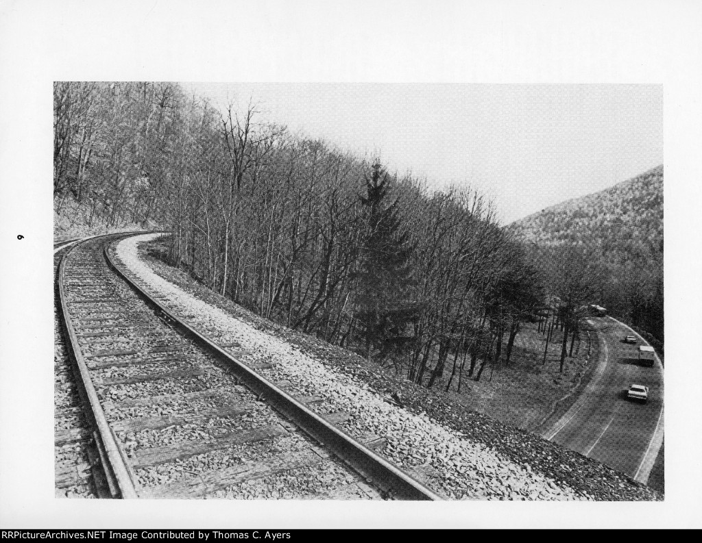
| Here is page six of a 28-page booklet entitled "Rail Guide To The Horseshoe Curve." It was published originally in 1976 by PC Publications of East McKeesport, Pennsylvania. Photo Caption: "U.S. 22 as seen from the Muleshoe Curve. Photo by Bill Metzger." The track to the photographer's front goes to Gallitzin and the tunnels; to his rear are Duncansville and WYE Tower. The vehicles pictured here are heading East, toward Duncansville. Photo taken from atop the Muleshoe Highway Tunnel. |
| Date:
8/15/1976 |
Location:
Duncansville, PA Map  |
Views:
139 |
Collection Of:
  Thomas C. Ayers
 |
|
Author: Thomas C. Ayers
|
 |
| Picture Categories: Tunnel |
This picture is part of album: PC: "Rail Guide To The Horseshoe Curve" (R) |